
Local Government
Incorporating ten Local Government Areas, the Goldfields-Esperance region covers a total land area of 955,276 km² in the south-eastern corner of the State. Our region is geographically diverse, internationally recognised for its expertise in mining mineral resources, rich agricultural commodities, spectacular natural environment and an abundance of unique experiences.
City of Kalgoorlie-Boulder
The largest inland city in Australia, named after the Indigenous word ‘karlkurlah’ meaning silky pear (a plant common to the area).
| LGA Size | 9,550,029.200ha |
| Population Estimate | 30,775 |
| Sub Region |
Goldfields |
| Economic Drivers | Mining, Manufacturing, Construction, Rental, Hiring & Real Estate Services |
Shire of Esperance
The Aboriginal name for Esperance is “Kepa Kurl”, which means “where the water lies like a boomerang”.
| LGA Size | 4,479,754.560ha |
| Population Estimate | 14,547 |
| Sub Region |
Southern Region |
| Economic Drivers | Agriculture, Forestry & Fishing, Construction, Transport, Postal & Warehousing |
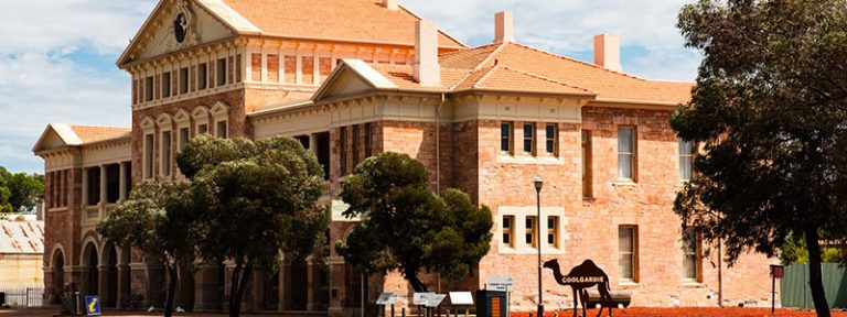
Shire of Coolgardie
The Warden Finnerty’s Residence built in 1895, housed Coolgardie’s first resident magistrate and mining warden, John Michael Finnerty.
| LGA Size | 3,029,769.770ha |
| Population Estimate | 3,686 |
| Sub Region |
Goldfields |
| Economic Drivers | Mining, Manufacturing, Construction, Rental, Hiring & Real Estate Services |
Shire of Dundas
Named after ‘Hardy Norseman’ the horse who uncovered a gold nugget which led to the prospector finding a large gold reef in the area.
| LGA Size | 9,288,636.680ha |
| Population Estimate | 701 |
| Sub Region |
Goldfields |
| Economic Drivers | Mining, Accommodation & Food Services, Construction, Public Administration & Safety |
Shire of Laverton
Dr Charles Laver, founder of Laverton, was a bike-riding humanitarian and mining entrepreneur who regularly rode his bike back and forth to Coolgardie.
| LGA Size | 17,999,397.100ha |
| Population Estimate | 1,439 |
| Sub Region |
Northern Goldfields |
| Economic Drivers | Mining, Manufacturing, Construction, Rental, Hiring & Real Estate Services |
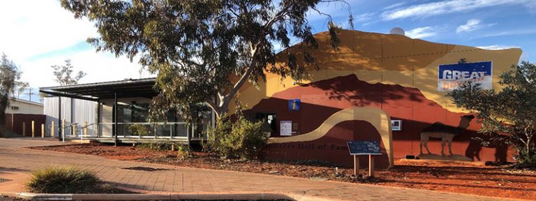
Shire of Leonora
The living ghost town of Gwalia is the doorway to a unique experience of Western Australia’s rich mining history, and boasts an exceptional museum.
| LGA Size | 3,191,505.620ha |
| Population Estimate | 1,732 |
| Sub Region |
Northern Goldfields |
| Economic Drivers | Mining, Manufacturing, Construction, Rental, Hiring & Real Estate Services |
Shire of Menzies
Grand Hotel Kookynie, a classic outback pub built in 1902, boats impressive architecture and is home to ‘Willy’, the famous resident horse.
| LGA Size | 12,411,542.400ha |
| Population Estimate | 575 |
| Sub Region |
Northern Goldfields |
| Economic Drivers | Mining, Rental, Hiring & Real Estate Services, Manufacturing, Administrative & Support Services |
Shire of Ngaanyatjarraku
Located approx. 1542km from Perth and diverse in natural beauty, home to the Rawlinson Ranges and sandy plains of the Gibson Desert.
| LGA Size | 15,981,596.320 ha |
| Population Estimate | 1,479 |
| Sub Region |
Northern Goldfields |
| Economic Drivers | Public Administration & Safety, Rental, Hiring & Real Estate Services, Education & Training |
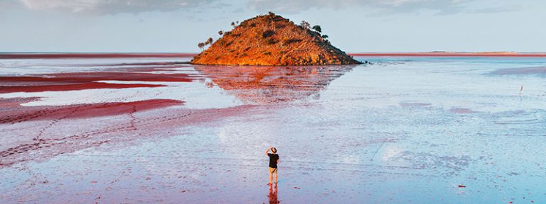
Shire of Ravensthorpe
During wildflower season, there are more than 2,400 stunning and unusual species of flowering plants to discover.
| LGA Size | 984,175.040ha |
| Population Estimate | 2,277 |
| Sub Region |
Southern Region |
| Economic Drivers | Mining, Construction, Agriculture, Forestry & Fishing, Rental, Hiring & Real Estate Services |

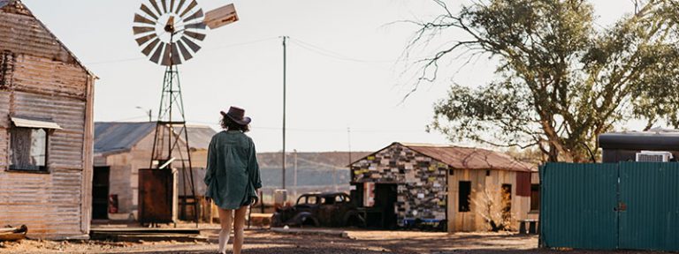
Shire of Wiluna
Marks the start of two of the most challenging four wheel drive trails in the world, the Canning Stock Route and the Gunbarrel Highway.
| LGA Size | 18,129,733.820ha |
| Population Estimate | 568 |
| Sub Region |
Northern Goldfields |
| Economic Drivers | Mining, Manufacturing, Construction, Rental, Hiring & Real Estate Services |